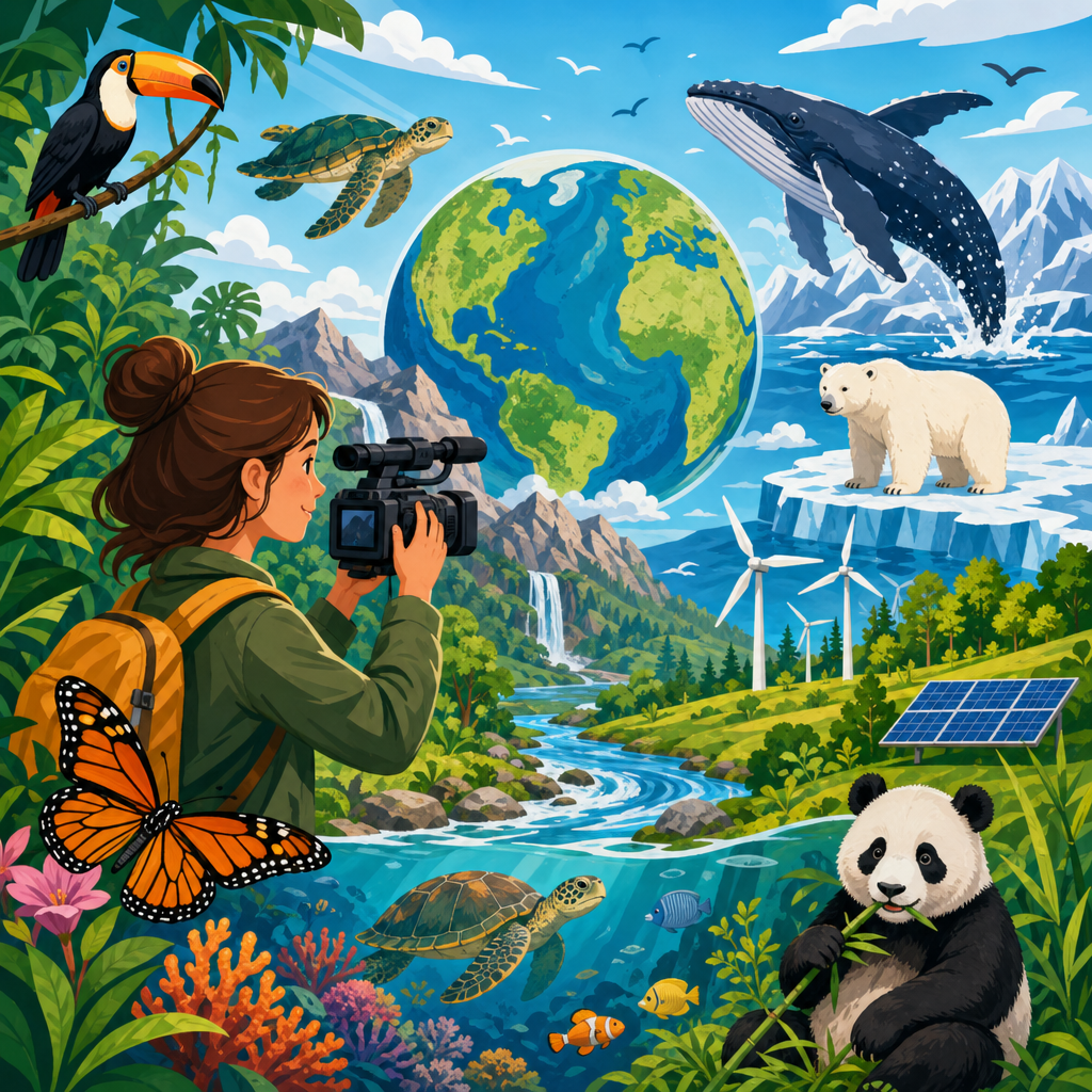
Environmental data science and mapping tools have become core skills for anyone studying climate, biodiversity, water, land use, or pollution, and free environmental courses now make those skills accessible without a formal degree. In practical terms, environmental data science means collecting, cleaning, analyzing, and interpreting information about natural and human systems, while mapping tools turn that information into visual patterns that support decisions. I have used these methods across monitoring projects, curriculum design, and public-facing dashboards, and the same question keeps coming up: where can beginners learn this well without paying thousands of dollars? This hub answers that question by organizing the best free environmental courses around the skills employers, researchers, and nonprofits actually use. It matters because environmental work increasingly depends on evidence. Agencies rely on satellite imagery to track deforestation, cities map heat islands to target tree planting, conservation groups use species occurrence data to prioritize habitat protection, and students need reproducible workflows rather than isolated facts. Free environmental courses can open the door, but quality varies widely. Some teach concepts without tools. Others teach software clicks without environmental context. The strongest options combine scientific foundations, real datasets, and credible platforms such as Coursera, edX, FutureLearn, Esri Academy, QGIS training resources, NASA Earthdata, UNEP learning portals, and university open course materials. This article serves as a sub-pillar hub under Education & Resources, so it covers the full landscape: what to study first, which platforms are useful, how mapping and coding fit together, what certificates are worth, and how to build a learning path from beginner to job-ready. If you want one clear starting point for free environmental courses, environmental data science, and mapping tools, this is it.
What free environmental courses should cover first
The best free environmental courses begin with fundamentals before jumping into advanced software. A strong foundation usually includes environmental systems, data literacy, statistics, geographic information systems, remote sensing, and communication. In my experience, learners struggle most when they start with a complex platform like ArcGIS Pro or Python notebooks before understanding coordinate systems, sampling bias, uncertainty, and metadata. For that reason, the most effective introductory courses explain what environmental data represents, where it comes from, and how to judge its limitations.
At the beginner level, look for courses that explain raster versus vector data, spatial resolution, temporal resolution, projections, basic descriptive statistics, and common environmental indicators such as NDVI, PM2.5, land cover, streamflow, and species richness. These are not abstract terms. Raster data is the grid-based structure used in satellite imagery and climate surfaces. Vector data represents features such as roads, rivers, and boundaries. Spatial resolution tells you how large each pixel is on the ground. Temporal resolution tells you how often measurements are collected. Without these concepts, map outputs can look polished while being analytically wrong.
Good free environmental courses also teach data ethics and reproducibility. Environmental decisions affect communities, and maps can mislead if uncertainty is hidden or if data excludes marginalized populations. A useful course should mention source documentation, version control, and the difference between correlation and causation. If a platform offers only short promotional videos and no exercises, treat it as orientation material, not full training. For this hub, the most useful subtopics to explore next are GIS basics, remote sensing, climate data analysis, biodiversity informatics, environmental statistics, and open-source coding workflows.
Best platforms for free environmental courses and mapping tools
Several platforms consistently provide credible free environmental courses, but each serves a different purpose. Coursera and edX are strong for university-led introductions to climate science, sustainability, ecology, statistics, and data analysis. You can often audit courses for free, though graded assignments or certificates may require payment. FutureLearn is useful for shorter, structured learning with discussion features. OpenLearn from The Open University offers accessible environmental science modules for beginners who want less technical entry points.
For mapping tools, Esri Academy provides free lessons on ArcGIS Online, story maps, cartography, and introductory GIS concepts. These are polished and practical, especially for learners entering government or consulting environments where ArcGIS is common. QGIS resources, including the official training manual and community tutorials, are essential if you want a fully free desktop GIS path. QGIS matters because it is open source, widely used by nonprofits, researchers, and local organizations with limited budgets, and capable of serious spatial analysis when paired with plugins and Python.
NASA Earthdata, USGS, Copernicus, NOAA, and UNEP provide some of the best free environmental learning materials because they connect directly to operational datasets. NASA Earthdata courses explain remote sensing products, Earth observation workflows, and applications for disasters, agriculture, water, and air quality. USGS tutorials help with Landsat, hydrology, and land change science. Copernicus materials are valuable for Sentinel data and European Earth observation services. These sources are especially strong because they teach not just theory but how to access and use the same data that professionals rely on.
| Platform | Best for | Typical strengths | Main limitation |
|---|---|---|---|
| Coursera | University-led environmental foundations | Structured syllabi, strong instructors, broad topics | Certificates often paid |
| edX | Academic climate, sustainability, data courses | Credible institutions, flexible auditing | Hands-on mapping varies by course |
| Esri Academy | ArcGIS and web mapping | Practical labs, polished GIS workflows | Some advanced tools require licensed software |
| QGIS Training | Open-source GIS skills | Free software, strong community support | Quality varies across tutorials |
| NASA Earthdata | Remote sensing and Earth observation | Real datasets, domain-specific applications | Can feel technical for beginners |
When choosing among platforms, match the source to the skill. If you need environmental science fundamentals, start with university-led courses. If you need mapping fluency, use Esri or QGIS pathways. If you need satellite data competence, prioritize NASA, USGS, and Copernicus materials.
Core skills in environmental data science
Environmental data science is more than learning one programming language. It is the practice of turning raw environmental observations into reliable evidence. The core workflow includes data acquisition, cleaning, exploratory analysis, spatial integration, modeling, visualization, and interpretation. In free environmental courses, the best sequences teach learners to move through that workflow using real examples such as watershed monitoring, wildfire risk mapping, urban heat analysis, or habitat suitability modeling.
Statistics is one essential skill area. You need to understand distributions, outliers, sampling, regression, time series, uncertainty, and validation. In environmental settings, data is often noisy, incomplete, and unevenly distributed. Air quality sensors fail. Citizen science records cluster near roads and cities. Climate normals differ across baseline periods. A course that teaches statistics without environmental examples can still help, but a course that uses precipitation records, stream gauge measurements, or species observations will be easier to apply directly.
Programming is another high-value skill, especially with Python and R. Python is widely used for geospatial automation, raster processing, and API access through libraries such as pandas, geopandas, rasterio, xarray, and matplotlib. R remains powerful for ecological statistics, reproducible reporting, and spatial analysis through packages like sf, terra, tmap, and ggplot2. You do not need both at the beginning. Learn one well enough to import data, clean columns, join spatial layers, produce a map, and document your steps.
Database and spreadsheet literacy still matter. Many entry-level environmental roles require cleaning field data in Excel or Google Sheets, then moving it into GIS or statistical software. Good courses explain file formats such as CSV, GeoJSON, shapefile, GeoTIFF, and NetCDF, because environmental datasets arrive in many forms. The strongest learners combine tool skills with methodological discipline: naming files consistently, keeping raw data untouched, recording assumptions, and checking outputs against known conditions before sharing results.
Mapping tools every learner should understand
Mapping tools sit at the center of modern environmental practice because nearly every environmental question has a location component. Where is tree cover declining? Which communities face higher flood exposure? How do protected areas overlap with species distributions? A useful learning path introduces the major tool categories rather than treating GIS as a single product.
Desktop GIS tools, especially QGIS and ArcGIS Pro, are used for detailed editing, spatial analysis, cartography, geoprocessing, and plugin-based extensions. Web GIS tools, such as ArcGIS Online, Leaflet, Mapbox, and CARTO, help publish interactive maps and dashboards. Cloud geospatial platforms, including Google Earth Engine, are increasingly important for analyzing satellite imagery at scale. If you want to detect land cover change across a decade or summarize vegetation trends over thousands of square kilometers, cloud processing can be far more efficient than downloading scenes locally.
Remote sensing tools deserve separate attention. Environmental monitoring often uses Landsat, Sentinel, MODIS, or Planet imagery to study vegetation health, burned area, snow cover, coastal change, and urban expansion. Courses that teach remote sensing well should explain reflectance, spectral bands, atmospheric correction, classification, and accuracy assessment. For example, NDVI is commonly used to estimate vegetation greenness from red and near-infrared bands, but interpreting it correctly requires awareness of seasonality, cloud contamination, and land cover differences.
Cartography is often undervalued in technical training, yet it is where analysis becomes understandable. A map should have a clear purpose, suitable symbology, readable labels, and honest classification choices. I have seen learners produce technically correct flood maps that still confused decision-makers because color scales implied false precision or key legends were missing. Strong free environmental courses include communication guidance so maps support action rather than simply displaying data.
How to build a free learning path from beginner to advanced
The smartest way to use free environmental courses is to follow a staged path. Start with environmental science basics and GIS fundamentals. Then add statistics, one coding language, and one remote sensing course. After that, build small portfolio projects using open datasets. This order works because each step gives context for the next. Beginners who skip directly to machine learning usually end up copying notebooks they do not understand.
For the first month, focus on concepts: ecosystems, climate systems, geospatial data types, map projections, and descriptive statistics. In the second month, practice hands-on GIS using QGIS or ArcGIS Online. Learn attribute tables, joins, buffers, clipping, spatial joins, and basic layouts. In the third month, begin Python or R with environmental examples, such as analyzing annual precipitation, summarizing water quality readings, or mapping invasive species records. In the fourth month, add remote sensing through NASA Earthdata or Copernicus lessons, then create a simple land cover or vegetation change project.
Portfolio work is the bridge from coursework to opportunity. Use public datasets from EPA, USGS, GBIF, WorldClim, NASA, NOAA, OpenStreetMap, or local open-data portals. A good beginner project might map urban tree canopy against summer surface temperature. An intermediate project might compare wildfire perimeters, land cover, and population exposure. An advanced project could analyze watershed impairment using streamflow, land use, and point-source pollution layers. Document your methods, cite sources, and explain limitations. That shows judgment, not just software familiarity.
Certificates can help, but employers in environmental roles often care more about demonstrated competence. A short repository, map portfolio, or dashboard can outperform a stack of generic completion badges. Use certificates strategically when they come from recognized institutions or when they signal sustained effort in a technical subject.
Choosing courses by career goal and avoiding common mistakes
Your ideal set of free environmental courses depends on your target role. If you want conservation work, prioritize ecology, biodiversity data, species distribution mapping, and field data management. If you want climate or resilience work, focus on climate datasets, hazard mapping, remote sensing, and spatial statistics. If you want environmental consulting, build competence in GIS, reporting, regulatory datasets, and clear cartographic communication. For sustainability roles in business, add life cycle thinking, emissions accounting basics, and dashboard reporting.
One common mistake is overcommitting to tools and underinvesting in scientific reasoning. Knowing how to click through a heat map tool does not mean you understand exposure, vulnerability, baseline selection, or uncertainty. Another mistake is ignoring data provenance. Environmental datasets are produced under different methods, scales, and timeframes. Combining them without checking metadata can produce persuasive but invalid conclusions. A rainfall layer at one-kilometer resolution should not automatically be interpreted at parcel scale. Species records from citizen science platforms should be screened for spatial bias and identification reliability.
A third mistake is learning in isolation. Join user communities around QGIS, R for data science, Python geospatial workflows, Esri forums, or local mapathons. Environmental learning accelerates when you troubleshoot real problems with others. Finally, do not wait for the perfect curriculum. The field evolves constantly. Start with a credible free environmental course, complete one applied project, then use this hub to move into deeper articles on GIS, remote sensing, coding, and climate data resources. Consistent practice is what turns free learning into professional capability. Build your path, publish your work, and keep mapping the environmental questions that matter most.
Frequently Asked Questions
What is environmental data science, and why is it important to learn alongside mapping tools?
Environmental data science is the practice of collecting, organizing, cleaning, analyzing, and interpreting data related to natural systems and human impacts on those systems. That can include climate records, biodiversity observations, satellite imagery, water quality measurements, soil data, land use change, air pollution readings, and many other forms of environmental information. Mapping tools are the visual and spatial side of that work. They help turn rows of numbers, monitoring points, and remote sensing outputs into maps that reveal patterns, trends, and relationships across landscapes, watersheds, cities, coastlines, and ecosystems.
Learning both together is especially valuable because environmental questions are almost always spatial. It is one thing to know that temperatures are rising, habitats are shrinking, or pollutants are increasing. It is much more useful to know where those changes are happening, how quickly they are spreading, which communities or species are most affected, and what environmental drivers may be connected to those changes. Mapping tools such as GIS platforms and web mapping applications allow learners to connect data analysis with real-world geography, making findings more useful for planning, conservation, policy, and communication.
For students and professionals, this combination of skills is now fundamental across climate science, ecology, hydrology, conservation, environmental planning, agriculture, and public health. Employers and research teams increasingly need people who can handle environmental datasets, assess quality, run analyses, and communicate results through maps and visualizations. Free environmental courses have made it possible to start building these capabilities without needing a formal degree program, and that accessibility has opened the field to a much broader range of learners.
Which tools and software should beginners focus on when learning environmental data science and mapping?
Beginners should start with a practical toolkit that balances accessibility, industry relevance, and room for growth. A strong starting point includes spreadsheet skills for quick data inspection, a geographic information system such as QGIS for mapping and spatial analysis, and a programming language such as Python or R for data cleaning, analysis, automation, and visualization. QGIS is often the best first GIS platform because it is free, widely used, and powerful enough for professional spatial workflows. It allows learners to work with shapefiles, raster data, coordinate systems, attribute tables, and layered maps without needing to invest in expensive software.
Python is especially useful for environmental data science because it supports data wrangling, statistical analysis, geospatial processing, and reproducible workflows. Libraries like pandas, geopandas, rasterio, xarray, matplotlib, and scikit-learn are commonly used in environmental projects. R is also highly valuable, particularly for statistics, ecological analysis, and scientific graphics, with popular packages like sf, terra, tidyverse, and ggplot2. The best choice is often less about which language is objectively better and more about which one aligns with your goals, the kinds of environmental questions you want to answer, and the learning resources available to you.
It also helps to become familiar with open environmental data platforms and mapping resources. These may include NASA Earthdata, USGS Earth Explorer, Copernicus, GBIF, WorldClim, OpenStreetMap, and government environmental monitoring portals. Beginners should not try to learn everything at once. A more effective path is to start with one GIS tool, one coding language, and a small set of datasets, then build confidence through hands-on projects such as mapping land cover change, visualizing biodiversity records, or analyzing rainfall and streamflow patterns.
Do I need a formal degree in environmental science, GIS, or data science to learn these skills effectively?
No, a formal degree is not required to begin learning environmental data science and mapping tools effectively. Many people enter this area from different backgrounds, including biology, geography, engineering, public policy, agriculture, computer science, education, and even entirely unrelated fields. What matters most is developing a solid understanding of environmental questions, building technical skills through practice, and learning how to work carefully with real-world data. Free environmental courses, open-source software, and public datasets have made it much easier to gain meaningful experience independently.
That said, success without a formal degree usually depends on structure and consistency. Environmental data work can involve technical concepts such as coordinate reference systems, raster versus vector data, metadata, statistical uncertainty, data quality control, and reproducible workflows. It is completely possible to learn these concepts outside a university setting, but it helps to follow a deliberate path: begin with foundational environmental concepts, move into basic data handling, learn mapping and spatial analysis, and then progress into coding and more advanced modeling. Project-based learning is especially effective because it connects technical skills to real environmental problems.
If your goal is career advancement, a portfolio can be as important as formal credentials. Well-documented projects showing how you collected data, cleaned it, analyzed it, created maps, and explained findings can demonstrate real ability. For example, a project mapping urban heat, assessing watershed land cover, analyzing species occurrence records, or visualizing air quality trends can be highly persuasive to employers or collaborators. Degrees still matter in some roles, especially research-intensive or specialized scientific positions, but for many practical environmental data and GIS roles, demonstrated skill and applied problem-solving carry significant weight.
What kinds of environmental problems can I solve with data science and mapping skills?
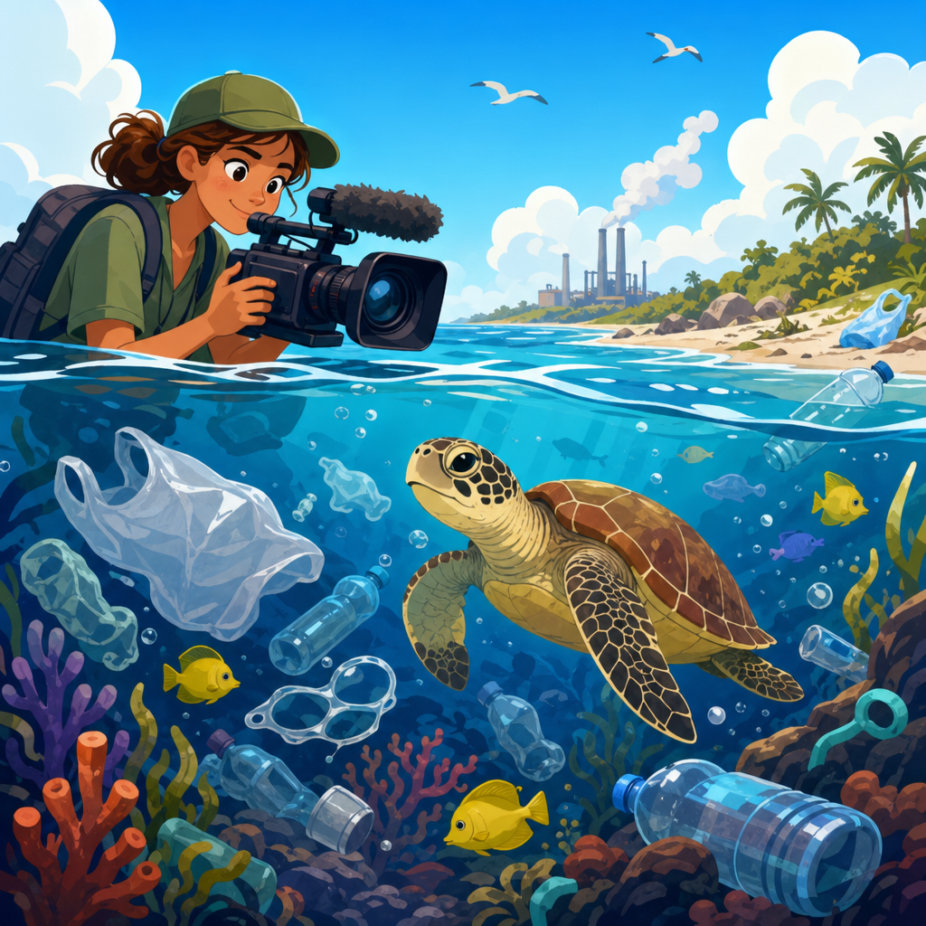
Environmental data science and mapping tools can be applied to a wide range of practical and research-driven problems. In climate work, they can be used to analyze temperature and precipitation trends, map extreme heat exposure, assess flood risk, or track drought severity over time. In biodiversity and conservation, they help identify habitat fragmentation, model species distributions, map protected areas, monitor deforestation, and analyze ecological survey data. In water resource management, these skills support watershed analysis, stream monitoring, groundwater assessment, pollution tracking, and infrastructure planning.
They are also central to land use and urban environmental studies. You can use spatial data to examine how cities expand, how green space changes, where impervious surfaces increase flood risk, or which neighborhoods are most exposed to heat or poor air quality. In pollution studies, environmental datasets and maps can reveal contamination hotspots, connect emissions to land use patterns, and support environmental justice analysis by showing how risks are distributed across populations. Remote sensing adds another powerful layer by enabling large-scale monitoring of vegetation, wildfire impacts, coastal change, snow cover, and surface water dynamics.
The real strength of these skills is that they connect evidence to action. Maps and analyses can inform restoration planning, climate adaptation strategies, conservation prioritization, policy decisions, infrastructure investment, and community communication. They help answer questions that decision-makers actually face: where is the problem, who is affected, how is it changing, and what interventions should happen first. For learners, this means the skills are not just technical; they are directly tied to solving urgent environmental challenges in ways that are visible, measurable, and useful.
What is the best way to start learning environmental data science and mapping tools through free courses?
The best way to start is to combine structured learning with small, realistic projects. Begin by choosing one introductory course in GIS or spatial thinking and one beginner-friendly course in environmental data analysis using Python or R. This gives you both the conceptual and technical foundations. As you learn, practice with real datasets rather than only following abstract tutorials. Working with actual environmental data helps you understand messy formats, missing values, inconsistent units, projection issues, and other common challenges that appear in real-world analysis.
A strong beginner sequence often looks like this: first learn basic environmental data types and file formats; next understand coordinates, map projections, and layers; then practice data cleaning and visualization; after that, move into spatial joins, raster analysis, and simple statistics; and finally build a complete project from raw data to final map or report. Keep the first projects narrow in scope. Examples include mapping tree cover in a local area, comparing land use around a watershed, visualizing recent air quality data, or plotting biodiversity observations from an open database. Small projects are easier to finish and better for building confidence.
It is also important to document your work carefully. Keep notes on where your data came from, what assumptions you made, how you cleaned the data, which tools you used, and what your final results mean. This habit improves learning and creates material for a future portfolio. Over time, try to develop a repeatable workflow that includes downloading data, checking metadata, cleaning records, analyzing patterns, creating maps, and explaining limitations. Free courses are most effective when they are treated as a starting point rather than an endpoint. The learners who progress fastest are usually the ones who consistently apply what they study to environmental questions they genuinely care about.